


Ereikousa is the northernmost point of the Ionian Islands and the second largest island in the Diapontia Islands, situated about 6 miles north of Cape Drastis in northern Corfu. The first references to Ereikousa, named Erikousa and Ericusa, were made by Pliny and date to the 1st century AD. In the 2nd century AD Ereikousa is mentioned by Ptolemy.
Local tradition says that the island was once deserted and then came under the Ottomans’ Paxini families, who were there and so settled. Its fertile meadows make one believe it is a part of Epirus, or a piece of Corfu that broke off, drifted out to sea and rose there… on the edge of Greece.
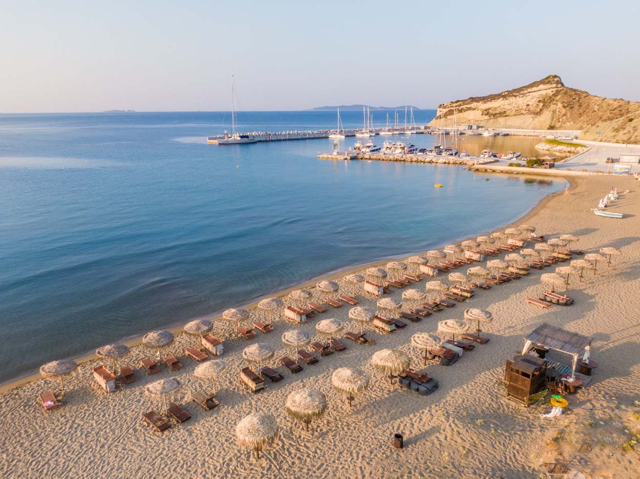
Arriving on the island, the visitor lands in Porto, the settlement that hosts the port of the island which is connected to the port of Corfu, the port of Agios Stefanos Avlioton and in the summer months by boats that make excursions from Sidari. The island has an impeccably built heliport, a rural doctor’s office, a hotel and rooms to let.
One of the most beautiful places on the island is the wild landscape at Pera Katergo where a stone cross bears testimony to a naval accident that occurred about 100 years ago in the area. Pera Katergo is the only point of the island covered with stone. In the past, the hill was a quarry, from which the workers dynamited the rocks, shaping it as seen today.
An important attraction of the island is its traditional olive mill among the authentic settlements, which is still fully operational.
Ereikousa is a green island, full of myrtles, rosemary and cypress trees that reach the shore.
Its small settlement allows one to discover the history of the island. The locals are friendly and welcoming and assist with suggestions as to where to go and what to see. The paths of the island are surrounded by olive and cypress trees and one can explore the nature to the accompaniment of the sweet smell of heaths.


The island owes its name to the "Reiki" shrub, which grows all over the island.
It is often called “Merlera“, a name that was preserved by cartographers of the 16th century AD. In October the bush blooms and a purple “carpet” covers the island.
The beaches
Porto, which is the only port on the island, offers an organized, endless beach with shallow crystal clear waters, which is an attraction for tourists and Corfiots. It is today’s windless port of Ereikousa with a well-organized community beach, with shower for bathers and visitors. Beautiful wooden signs lead to all parts of the island through wonderful hiking trails that are comfortably covered by all ability groups.
From Santardo, the highest point of the island, with an altitude of about 130 meters, one can gaze from above at the round and verdant Ereikousa island. To the east of the isle is the beautiful beach of Braggini with its golden, sandy beach and lush vegetation. It can be reached on foot by following the route through the locations Porto-Ekklisies-Agia Triada-Paliokalyva-Braggini.


Source
Μηχανή του Χρόνου (2015). “Οι ‘χαμένοι’ παράδεισοι του Ιονίου όπου η Καλυψώ παγίδευσε τον Οδυσσέα“, http://news247.gr/eidiseis/mixani-tou-xronou/mhxanh-toy-xronoy-oi-xamenoi-paradeisoi-toy-ionioy-opoy-h-kalypsw-pagideyse-ton-odyssea-kai-h-ereikousa-toy-tsipra.3599573.html 2015
Ortsa.gr: το πρώτο ηλεκτρονικό περιοδικό για τη θάλασσα. (2017). “Διαπόντια Νησιά“, http://www.ortsa.gr/%CE%B4%CE%B9%CE%B1%CF%80%CF%8C%CE%BD%CF%84%CE%B9%CE%B1-%CE%BD%CE%B7%CF%83%CE%B9%CE%AC/
IEFIMERIDA (2015). “Τα άγνωστα Διαπόντια Νησιά: το δυτικότερο σημείο της χώρας – κρυστάλλινα νερά, ατελείωτες αμμουδιές, τοπίο μαγεία”, (2015),http://www.iefimerida.gr/news/209356/ta-agnosta-diapontia-nisia-dytikotero-simeio-tis-horas-krystallina-nera-ateleiotes
Colleagues
Advertisement

Discussion